
Finding Oakland Street Residents by Address
An Oakland street directory is assembled record by record. Begin with the exact physical address, not a person’s name. The Alameda Assessor Parcel Viewer can normalize the situs address and connect it to an APN. That parcel clue can then point to an owner or taxpayer relationship, while the Recorder’s name-led index supplies the deed trail. Permits add construction and project history. Voter access is restricted, and historical reverse directories are the direct address-to-occupant source for selected years.
The sequence below keeps the roles distinct. It can identify an owner, a recorded party, an applicant, a registered voter through an authorized channel, or a historical occupant. It cannot turn those separate roles into a complete list of everyone at an Oakland address.
- Enter the Oakland address in the Assessor viewer and record the normalized situs address, APN, map reference, and visible parcel attributes.
- Browse the target parcel and nearby polygons in the county map, then use Oakland GIS layers for ZIP, zoning, district, and street context.
- Transfer a disclosed owner name to Alameda’s grantor and grantee index, inspect the instrument, and compare the legal description with the parcel.
- Use Oakland’s permit search for project dates and disclosed contacts, labeling an owner, applicant, contractor, or architect by the role shown.
- For current voter information, use the self-lookup or an authorized file channel; for past occupants, switch to the Oakland History Center’s reverse directories and historical registers.
The chain is strongest when address, parcel, legal description, date, and person role agree. If one layer disagrees, preserve the disagreement instead of forcing the street into a single answer.
Normalize an Oakland Address in the Parcel Viewer
The Alameda Assessor parcel-viewer instructions describe the map as the first address-to-land step. It displays parcel boundaries, APNs, dimensions, acreage, street addresses, and map references compiled from recorded documents, surveys, and county records. The guidance also warns that its output is not a legal survey.
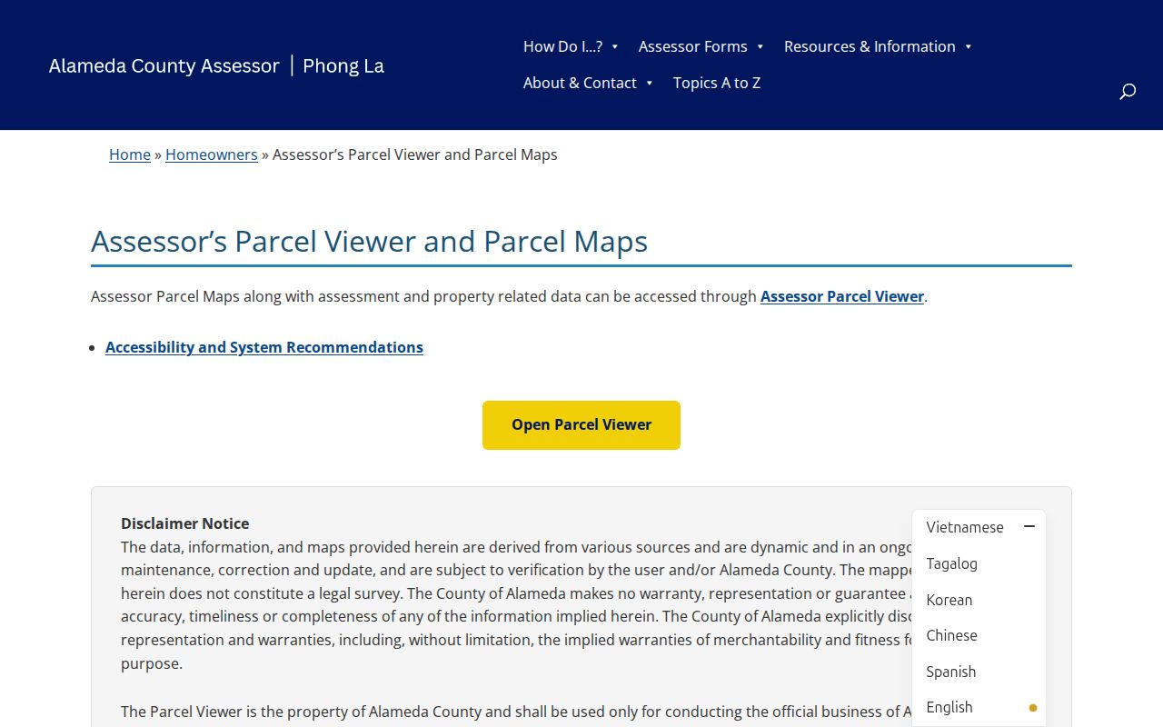
That map view gives the street directory a stable starting key, but not a final boundary answer. Aerial-overlay alignment can be approximate. Recorded changes can lag several weeks. APNs may change after subdivision, combination, or boundary adjustment, often in the following tax year. Preserve an old APN and legal description when tracing a long address history.
| Address | Text or autocomplete route for the situs or physical street address; select a match. |
|---|---|
| APN | Text route for the county parcel identifier; hyphenation may be normalized. |
| Map pan and zoom | Browse an Oakland street segment and nearby parcels without a person-name search. |
| Parcel click or select | Open parcel attributes, geometry, map references, and the selected land unit. |
| Layers and basemap | Switch parcel and reference geography; exact visible options can change. |
| Print or map output | Assessment map reference only, not a survey of the legal boundary. |
The Assessor’s documented primary keys are address and APN. The public material does not advertise a general owner-name search. Use the map to obtain the owner or taxpayer clue that is visible, then move to the Recorder by party name.
Oakland Mailing and Situs Addresses
Situs means the physical location assigned to a parcel for property administration. Mailing address means where a tax notice or other correspondence is sent. A matching situs and mailing address can support an owner-occupancy clue, but neither field proves that every person at the address is the owner or that the owner is present now. A different mailing address may reflect a trust, manager, preferred delivery point, or another ownership arrangement.
Keep the assessor relationship labeled as owner, taxpayer, or mailing contact. Do not recast it as a household list. A homeowner exemption may reinforce an owner-occupancy inference, but the research does not treat it as conclusive. Deed title and easements require the recorded instrument and legal description.
The parcel layer also needs a map vocabulary:
- Parcel
- A mapped land unit assigned an APN for assessment and property administration.
- Situs address
- The physical address attached to the parcel, distinct from a correspondence address.
- Plat
- A recorded map used with lot, block, subdivision, or street information to describe land relationships.
- Criss-cross directory
- An address- or phone-ordered directory that lets a researcher move from a street number to a listed occupant.
Note: A mailing address can locate correspondence, while the situs and legal description identify the land question being researched.
Browse Oakland Parcels Along a Street
Oakland GIS adds planning geography to the parcel view. The Oakland GIS MapServer exposes layers that can include ZIP codes, parcels, zoning, council or district context, and other city geography. Use it to orient the street, not to replace the Assessor or recorded title source.
Pan until parcel polygons and street numbers are legible. Select the target, save its APN and situs attributes, then click each touching or nearby parcel individually. Walk both sides of the street on the map. Intersections, rear lots, condominiums, public right-of-way, and irregular parcel shapes break the assumption that consecutive numbers are adjacent legal parcels.
Address flow: normalized situs address to APN, APN to parcel geometry, parcel to visible owner or taxpayer clue, owner name to grantor or grantee, and each dated record back to its source office. The map can show context around a block, but the live research did not document a public resident-radius report or a complete household output.
Oakland Street Records by Address
The Oakland street directory draws from several address keys, but each source exposes a different person or property role. The coverage below separates current parcel clues, legal instruments, project records, historical occupants, and older household counts.
| Source | Address Key | Named Person or Role | Main Limitation |
|---|---|---|---|
| Assessor Parcel Viewer | Situs address or APN | Owner or taxpayer when disclosed | Ownership, not a household roll |
| Recorder official records | No direct address key; name then legal description | Grantor, grantee, borrower, or instrument party | Online name index begins in 1969; image validates the parcel |
| Oakland Online Permit Center | Street, APN, record, or contact field | Applicant, owner, contractor, architect, or project contact | General records after 1987; roles differ |
| Reverse directory | Street and number or phone | Listed occupant or subscriber | Selected publication years; omission is possible |
| Voter record | Residence and precinct in an authorized file | Registered voter | Purpose restricted; self-lookup is not street browsing |
| Census schedule | Enumeration order and address | Historical household members | Public federal schedules currently reach through 1950 |
Use the table as a handoff map. The Assessor identifies the parcel. The Recorder identifies a legal party. A permit dates work and names disclosed project roles. A reverse directory supplies an address-to-occupant clue for its year. A voter file or historical register supplies a registration clue. A census supplies a household snapshot at the enumeration date.
Alameda Deeds Need a Party Name
Alameda County’s recorder index is the main Oakland street directory trap: the office does not index recorded deeds by street address or APN. The current owner or taxpayer clue must first be translated into a person, trust, or entity name. Search that name as grantee around the apparent acquisition period, inspect the deed’s legal description, then search the earlier grantor as grantee to move backward.
The county’s public-records request guidance explains the name-led indexing rule and the difference between a request for an existing record and a request to create a new list.
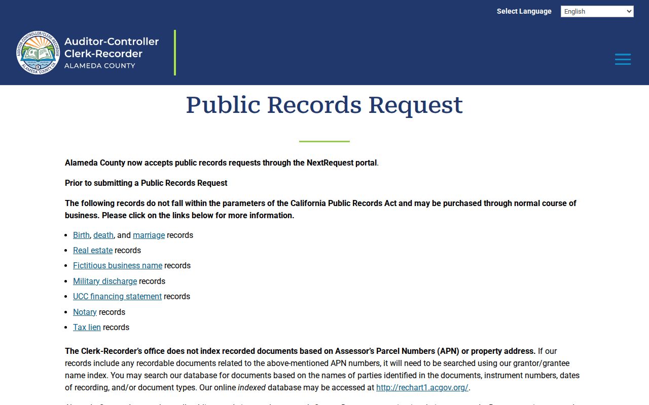
The image or copy is the parcel check. The index can show party spelling as submitted, recording date, instrument number, book and page or reel and image, and document type. Deeds, deeds of trust, reconveyances, liens, notices, and maps do not all describe the same relationship. A repeated surname alone is not a chain of title.
Electronic name indexing covers 1969 to the present. Official records reach back to 1853, but 1853-1968 research is done in person at 1106 Madison Street. Plain copies are $3.50 per page. Certified copies cost $4.50 for the first page and $3.50 for each additional page. Online ordering accepts Visa or Mastercard, while the counter accepts broader payment choices. In-person printing stops at 4:15 p.m.; requests after 4 p.m. process the next day. The office lists 510-272-6362 and 888-280-7708.
Note: A name-led deed search finds a recorded instrument, but only the document image and legal description tie that instrument back to the Oakland parcel.
Oakland Permits After 1987
Oakland Planning and Building records add a useful address timeline after 1987. The Records Unit is at 250 Frank H. Ogawa Plaza; its published contact is 510-238-3606 and RecordsInfo@oaklandca.gov. General Building, Code Enforcement, and Planning records after 1987 can be viewed in the Online Permit Center without a login.
The Oakland Planning and Building records page shows the city’s request and retrieval route for address files.
A general result may display a record number, record type, project or address, application or file date, status, description, related records, workflow events, and contacts when disclosure rules permit. The Street No., Street Name, Street Type, Unit, Parcel Number, record dates, record type, and first or last name fields help narrow a search. An applicant, contractor, architect, or contact is not automatically an occupant.
The Oakland Online Permit Center is the address-search interface for those public summaries.
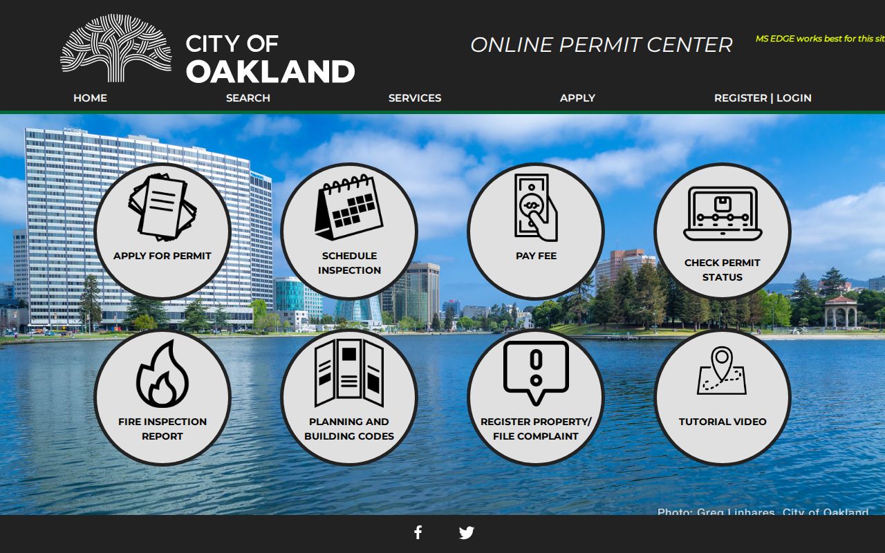
Older plans and original permits begin with a NextRequest submission. Oakland’s public-records instructions explain the citywide request route, while the Planning page identifies the department-specific process. If records are located, staff arranges an appointment or copies. Plan copying requires a requestor affidavit and, where applicable, professional-of-record or property-owner authorization. The Residential Building Record, called a 3-R, is limited to an owner or authorized agent who supplies a recorded deed as proof. The live page gives a two-month turnaround and an initial staff review of about 15 business days, but its fee display and question-and-answer total conflict, so staff should confirm the current amount.
Oakland Reverse Directories by Street
When the question is who was listed at an Oakland number, a reverse or criss-cross directory is more direct than an alphabetical city directory. The Oakland History Center directory collection lists reverse volumes for 1936, 1953, 1961, 1964-1974, and 1995. Digitized reverse directories are linked for 1938, 1940, and 1944. Later volumes sit in the Main Library Magazine and Newspaper Room.
Browse the street and number near the target year, record the listed occupant or subscriber, then compare the result with an alphabetical directory for spouse, occupation, and address clues. The address order can show a run of nearby numbers in one pass, but a skipped volume, a changed street name, or a missing listing can break the sequence. The Oakland historical city directory collection page explains how to read those volumes without treating a historical entry as current proof.
For a street directory trail, keep the reverse entry’s publication year beside the address. That date tells you what the source could have known. It does not establish a present household, a legal title, or a complete block roster.
Note: Reverse directories can reveal a street segment in one year, but a missing volume or renamed street can interrupt an otherwise neat address sequence.
Oakland Annexations and Renamed Streets
Oakland grew through five annexations, and duplicate street grids were absorbed as the city expanded. An old directory number may therefore point to a former street name, a different municipal context, or a cross street that no longer reads the same way. A current ZIP or mailing label does not solve an older address by itself.
The Oakland History Center house-history workflow recommends the annexation map and Quentin’s Guide to the Streets of Northern Alameda County for street-name changes. The Oakland house-history guide shows how to place those maps beside directories, block books, and Sanborn maps. Search an old legal description and cross street when a modern address returns nothing.
This geography is an Oakland street directory interest point because the label itself can change while the parcel record continues. Preserve the original wording, the later equivalent, and the map or legal-description clue used to bridge them.
Oakland Block Books and Sanborn Maps
Two historical map sources help anchor an address before a deed chain or directory name is clear. Oakland History Center assessor block books cover 1877-1925 and can show owners, values, and parcel evolution. Sanborn maps have various and incomplete Oakland coverage in the 1882-1958 range, with the house-history guide describing an 1882-1951 range. They show building footprints, materials, uses, and older street labels.
The Library of Congress Sanborn Maps collection explains the map series and its digitized access. A map can show where a structure sat and how a street was labeled, but it is not a deed, an occupancy roll, or a legal survey. Use it to test whether an old number, lot, or cross street fits the parcel history.
For a long Oakland address trail, place the block book owner or parcel note beside the Sanborn footprint, then compare both with the reverse directory and the recorder’s legal description. The layers reinforce one another when their dates and land shape agree.
Oakland Voter Records Resist Street Browsing
The Oakland street directory cannot use the public voter tools as an ordinary block browser. The Alameda My Voter Profile and California voter status tools authenticate a voter with first name, last name, date of birth, and identity fields that may include driver license, state ID, or Social Security digits. They return the user’s own registration information.
California Elections Code section 2194 permits voter registration information for election, scholarly, journalistic, political, or governmental purposes. An approved file may contain residence, precinct, party, status, method, and voting-history fields to the extent authorized, but commercial use is prohibited and protected identifiers remain excluded. The public self-lookup cannot browse everyone on a street.
Historical Alameda voter registers from 1867-1944 are available in person at the Oakland History Center. They can add a dated residence clue between directory and census years, while nonowners, children, unregistered adults, protected voters, and people with a confidential address remain outside a legitimate street search. When the goal shifts from a whole street to one person’s record trail, the Oakland resident lookup workflow keeps that purpose limit visible.
What Oakland Street Directory Cannot Show
A street directory can show parcel geometry, disclosed ownership, recorded parties, project contacts, selected historical occupants, or an authorized registration clue. It cannot show every person who spends time at an address. Utility customer lists are not public substitutes. DMV personal information is restricted by the federal Driver’s Privacy Protection Act and California law. Sealed court matters, adoption files, juvenile records, confidential marriages, and Safe at Home records are protected by design.
Neighborhood groups, private association rosters, congregation lists, and block-watch contacts are generally private unless an organization voluntarily publishes officers or a public contact. A map click can identify adjacent parcels, but it cannot establish household relationships. The same caution applies to a permit applicant, a mailing address, and a historical directory entry.
Lawful personal use. Oakland street and address records are for lawful research, family history, property curiosity, and civic understanding. Do not use names or addresses to stalk, harass, intimidate, impersonate, or evade a protective order.